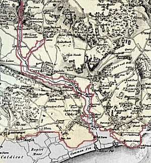
Rough outline of esturine alluvium near Caerwent (basemap is first Ordnance Survey 1 inch to 1 mile map, pre-1873). If the geological map is correct, this shows quite serious uplift in this area, as it crosses the 30m contour.